Exelis Launches Airspace Surveillance Tool For UAS Operations
Exelis announced Thursday that it has launched its first airspace situational awareness tool designed specifically for unmanned aerial system (UAS).
Symphony RangeVue puts real-time Federal Aviation Administration (FAA) surveillance data, background maps and weather information in the hands of UAS operators and test range personnel.
Symphony RangeVue enables UAS operators and test range personnel to have access to both real-time and historical surveillance information via a Web-hosted platform, helping to manage mission operations from multiple locations with full visibility of assets.
It can be used as a command center decision-support and post-event analysis tool, or in the field as a sense-and-avoid addition to UAS ground control stations. Flexible geo-fencing tools alert operators when a UAS approaches airspace boundaries or when other aircraft are in the vicinity.
“For the first time, UAS operators and test range personnel will have the same situational awareness currently available to general aviation pilots through traffic information broadcast services. This capability is available without having to install avionics surveillance equipment on the UAS aircraft,” said Ed Sayadian, vice president of Civil and Aerospace Solutions for Exelis.
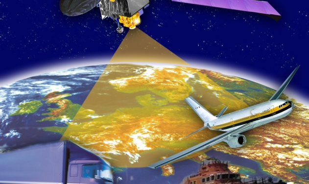
Symphony RangeVue combines a visualization engine with the network of Exelis NextGen surveillance data, including all of the FAA’s surveillance systems: automatic dependent surveillance-broadcast; en route radar; terminal radar; airport surface detection equipment-X; airport surface surveillance capability; and wide area multilateration. It also integrates locally deployed surveillance assets to deliver hyperlocal situational awareness.


