India Launches Satellite For Home-grown GPS System

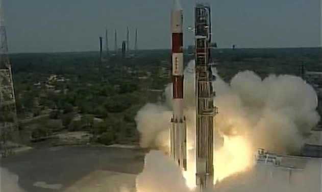
India launched a satellite today to set up the Indian Regional Navigation Satellite System (IRNSS), similar to the US GPS with the launch of IRNSS-1G, the last in the constellation of seven satellites.
When the IRNSS-1G becomes operational in about a month's time, the IRNSS would offer services like terrestrial and marine navigation, disaster management, vehicle tracking and fleet management, navigation aide for hikers and travellers, visual and voice navigation for drivers.
IRNSS will provide public navigational services such as helping with disaster management as well as movements of India's military, including those of ships and aircraft. When fully operational, the system will provide two types of services; standard positioning service and restricted service. The former will be provided to all users while the later will be an encrypted service for authorised users such as the military and security.
Indian officials estimate the project will cost 14.2 billion rupees ($238.6 million).
The XL variant was used during the launch of Mars Orbiter Mission, Chandrayaan-1, ASTROSAT besides the six earlier IRNSS satellites.


