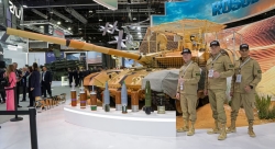
Leonardo’s Geospatial Maritime Security Platform Launched At Farnborough

SEonSE (Smart Eyes on the SEas), Leonardo’s geospatial maritime security platform, has gone live, the firm announced during the on-going Farnborough International Airshow on July 17.
With the use of cloud computing and of advanced big data analysis models, SEonSE makes it possible to access in real-time, even from tablets or smartphones, customised information on what happens at sea, the company’s press statement says.
This platform integrates data coming from multiple sources and provides multiple services for maritime security and surveillance, monitoring of illegal traffic, environment protection as well as fight against piracy.
“With SEonSE, maritime security can fully leverage on the advantages offered by digital technology. A huge amount of data is automatically processed in real-time for the protection of people and the maritime environment” declared Luigi Pasquali, Leonardo’s Coordinator of Space activities and Telespazio’s CEO. “This revolutionary platform is based on the knowledge of an industrial Group, Leonardo, a leader in the development and supply of integrated systems and technologies for maritime domain awareness, and on 25-years of experience in the Earth observation domain, with e-GEOS as an international leader.”
SEonSE processes information acquired from satellites and coastline radars and merges them on an automatic and continuous basis, thanks to proprietary algorithms, with positioning data sent by vessels (AIS, VMS, LRIT), registries of ships and various databases along with meteorological and oceanographic information. This data is then compared with historical information and customary behaviors, making it possible to identify anomalous activities and potential threats to security. The result is timely and easily accessible information, crucial to identifying possible risks which are signaled by automatically generated alerts to intercept the vessel in question, to plan the actions of the relevant authorities and to trace secure routes in hostile environments.
Crucial in terms of security and monitoring is the contribution of satellite images, which allow the observation on a global scale of cooperating or non-cooperating vessels – therefore even the ones that do not comply with identification requirements at sea – in any weather conditions, in remote areas, by day and night. SEonSE, in particular, combines the high resolution and the flexibility of the Italian COSMO-SkyMed radar satellite constellation with the frequency of programmed acquisitions of the Sentinels of the Copernicus European programme. In addition, the platform already allows the integration of data generated by the constellations of mini-satellites, like Planet and BlackSky, granting a non-stop and complete updating of the situation at sea.
SEonSE also leverages on, in real-time, over 7 million AIS signals sent every day by about 165,000 vessels which are managed by exactEarth, the worldwide leader in Satellite AIS data services,for global tracking of commercial ships. e-GEOS and exactEarth have signed a partnership agreement at the Farnborough show.
SEonSE is based on an e-GEOS’ patent for the processing of satellite data, already used in many activities for maritime security and in international projects, like OCEAN2020, the European Defence Fund strategic research programme for naval surveillance technology and maritime safety, that is led by Leonardo.
Leonardo sells Aircraft Counter-measures System to Middle Eastern customer
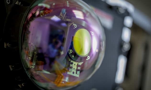
Leonardo’s New-Gen Communications Intelligence System To Debut At Farnborough
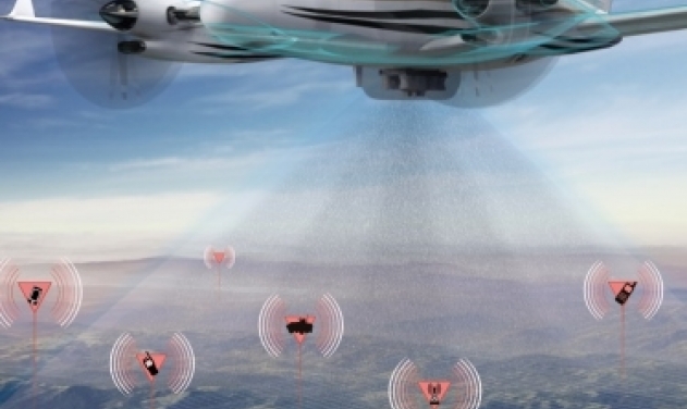
Leonardo To Debut New E-Scan Radar For Fighter Aircraft At Farnborough Air...
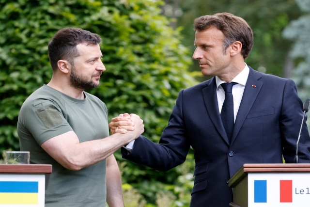
France Follows U.S. in Allowing Ukraine to Produce Air Defense Missiles
Russia, Ukraine Cause Significant Damage to Each Others’ Oil Tankers, Military Targets
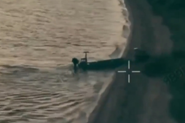
Ukraine Pulls Off World’s First Unmanned Amphibious Assault
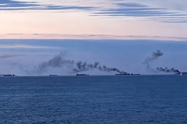
IRGC Strikes Two Super Tankers in Strait of Hormuz, 5 Killed in...

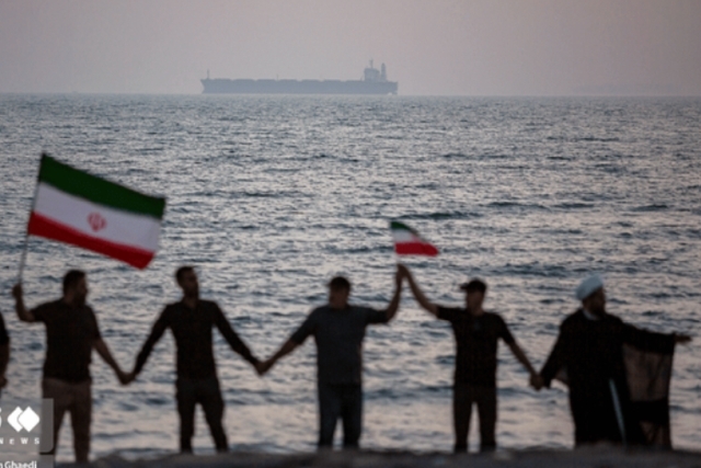
One Month Since U.S., Israeli War Against Iran: Who Is Gaining?
One month after the United States and Israel launched coordinated strikes on Iran on February 28 the conflict has expanded...

Modern Tank Showdown: T-90MS, Leopard 2A7, M1E3 Abrams Compared
Main Battle Tanks (MBTs) have shown their mettle in recent conflicts such as in Ukraine despite being increasingly vulnerable to...
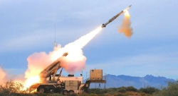
European Nations Prioritizing Europe-made IRIS-T & SAMP-T over American Patriot Air Defense Systems?
European nations looking to procure new air defense systems appear to be giving the much-vaunted American Patriot a miss in...
Russian T-90MS Crew Discuss Future Upgrades
Defense Mirror spoke with the crew members of the Russian T-90MS main battle tank, produced by UralVagonZavod

China's Mass-produced J-35A Aircraft Set to Disrupt Global Stealth Fighter Market
China is aiming to disrupt the global stealth fighter market by mass-producing its fifth-generation J-35A at a pace comparable to...
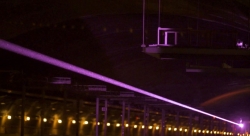
The Future of Combat: Miniaturized Laser Weapons Set to Replace Bullets and Missiles
Lasers may soon replace bullets, and drones could disable enemy UAVs with beams of light instead of missiles