
Forty Percent of S.Korea’s Military Installations Exposed by Google Maps

A South Korean lawmaker on Sunday accused Google Maps of exposing 40 percent of country’s military installations as satellite images, including crucial fighter wings.
“About 40 percent of all military installations here are exposed as satellite images on Google Maps,” Rep. Park Kwang-on of the ruling Democratic Party of Korea said, citing a document received from Ministry of National Defense.
Google has reportedly been ignoring South Korean government’s request of blurring sensitive data from the satellite map since the early 2000s.
“Exterior regulations should be established to prevent such foreign companies from exposing information that could threaten the security of the country,” Rep. Park was quoted as saying by local media.
Seoul-based portal sites such as Naver delete all information considered as state secret from their map services. “Google, however, uses servers outside of Korea and is not subject to Korean law,” the lawmaker said.
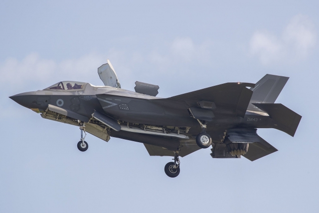
The facilities revealed include the Air Force’s 17th Fighter Wing, where F-35A stealth fighters are stationed, and the 15th Special Activity Wing, where the airport for presidential aircraft and state guests is located. The exact number of installations exposed has not been revealed because it is a military secret.
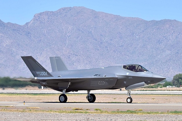
South Korea to Buy 20 More F-35 jets for $3.3B
South Korea Inducts F-35 Stealth Jets During Armed Forces Day Ceremony
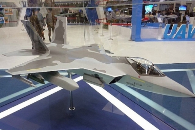
Design of South Korea’s KF-X Frozen, Prototype to be Built by 2021
Netherlands Allocates €500M for Extra Ammunition
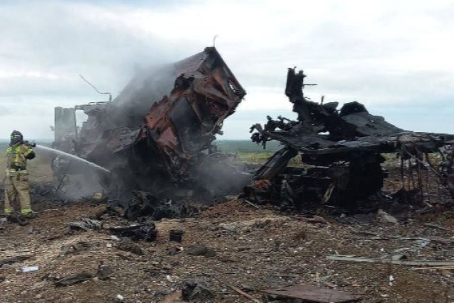
Ukrainian ATACMS Strikes Target Russian S-400, Fighters in Crimea
Ruselectronics Develops Technology Extending Short-Wave Radio Range to 6,000 km

Indonesian Navy Chief Considers Interim Submarine Purchase Amidst Operational Needs
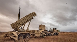
Is the Patriot Air Defense System Outdated?
After Israel revealed its decision to decommission its U
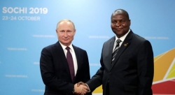
Russia's Growing Influence in Africa: Arms Sales and Military Bases
Russia's expanding influence in Africa, demonstrated by arms sales, military deployments, and diplomatic engagements, reflects a significant geopolitical shift on...
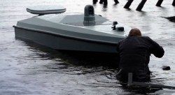
Development Trends in Unmanned Surface Vessels
Unmanned surface vessels (USVs) have caught the attention of the world following their spectacular success in sinking Russian warships in...
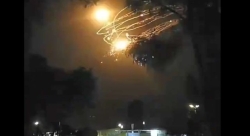
Have Iran-Israel Missile Attacks Enabled Mutual Deterrence?
Iran's April 13-14 missile strike against Israel marks a paradigm shift in Tehran's approach to Israel; from previously relying on...
Free Flight to Russian Hypersonic Missiles as America's Own Hypersonics Program Delayed to 2027
As Russian Aerospace Forces pummeled Ukrainian positions in mid-March 2024 with hypersonic missiles, the Pentagon's own hypersonics program faces delays,...

Counter-trade, Undisclosed Deals May be Masking Russia’s Arms Export Numbers
A Stockholm International Peace Research Institute (SPIRI) report last week reported a steep fall in Russias arms exports- pushed to...