Russian Navy Commences Operating Krabik-BM Hydrography System

Russian Navy has started learning the applied operations of the latest Krabik-BM radio surveying complex which is a high-precision specimen of equipment being supplied to the hydrography services departments.
The hydrography services of the Northern, Pacific, Baltic and Black Sea Fleets and the Caspian Flotilla have started the process of learning to use to the Krabik-BM radio surveying complex, the ministry's communications department said in a statement.
Krabik-BM provides real-time geodetic data for hydrographic surveys and offshore and near-shore engineering work, as well as increasing the efficiency of dredging.
The system, which automatically provides high-precision coordinates and movement vectors for both stationary and mobile marine objects, is a key component of forming a single navigational field for the navy.
Krabik-BM, With a range of 150 kilometers (93 miles), supports offshore natural resource exploration and extraction operations, drilling rig towing and subsea cable laying.
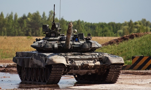
Russia Sells Tanks Worth US$2.5 Billion In 2016
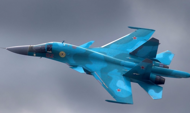
Su-34 Bombers Reach Russia's Far East Air Unit
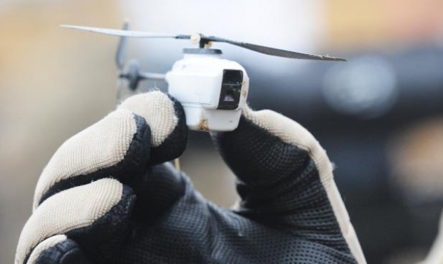
Russia Develops Anti-Drone Warfare Tech
Russia Delivers First Batch Of Four Su-35 Fighters To China: Russian Website

US Armed Forces Members to Undergo Testing for Testosterone Levels
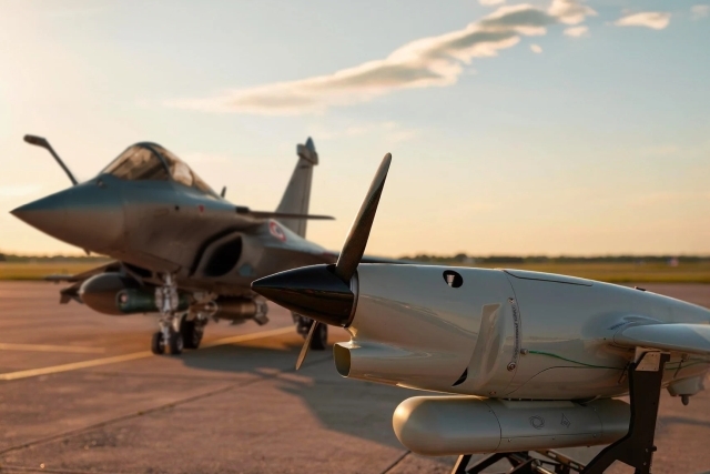
Rafale Jet Combines with Electronic Warfare Payload-Carrying UAV to Strike Simulated Target
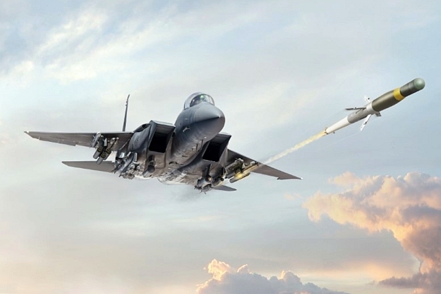
Iran War Impact: Saudi Arabia to Buy Advanced Precision Kill Weapon II...
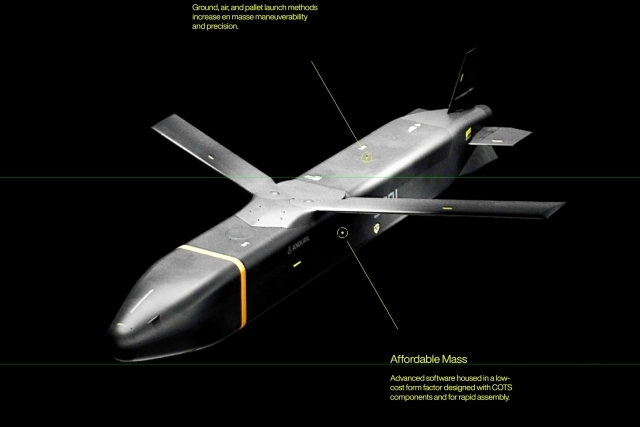
Anduril Bags U.S. DoW Contract to Supply Barraduda-500 Stand-off Weapons

One Month Since U.S., Israeli War Against Iran: Who Is Gaining?
One month after the United States and Israel launched coordinated strikes on Iran on February 28 the conflict has expanded...

Modern Tank Showdown: T-90MS, Leopard 2A7, M1E3 Abrams Compared
Main Battle Tanks (MBTs) have shown their mettle in recent conflicts such as in Ukraine despite being increasingly vulnerable to...
European Nations Prioritizing Europe-made IRIS-T & SAMP-T over American Patriot Air Defense Systems?
European nations looking to procure new air defense systems appear to be giving the much-vaunted American Patriot a miss in...

Russian T-90MS Crew Discuss Future Upgrades
Defense Mirror spoke with the crew members of the Russian T-90MS main battle tank, produced by UralVagonZavod

China's Mass-produced J-35A Aircraft Set to Disrupt Global Stealth Fighter Market
China is aiming to disrupt the global stealth fighter market by mass-producing its fifth-generation J-35A at a pace comparable to...

The Future of Combat: Miniaturized Laser Weapons Set to Replace Bullets and Missiles
Lasers may soon replace bullets, and drones could disable enemy UAVs with beams of light instead of missiles