Pakistan's First High Resolution Imaging Satellite Launched

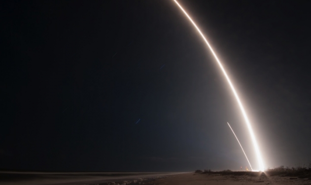
Pakistan's first high resolution imaging satellite with a resolution of one meter was launched today by a Chinese Long March 2-C Rocket.
The PRSS-1 is China's first optical remote sensing satellite sold to Pakistan developed by the China Academy of Space Technology (CAST). It will be used for land and resources surveying, monitoring of natural disasters, agriculture research, urban construction and providing remote sensing information for the Belt and Road region, according to Xinhua.
A scientific experiment satellite, PakTES-1A, developed by Pakistan, was sent into orbit via the same rocket. After entering orbit, the PRSS-1 is in good condition with its solar panels unfolded smoothly, according to CAST.
Monday's launch is the 279th mission of the Long March rocket series. Long March-2C rockets are mainly used to send satellites into low Earth or Sun-synchronous orbits.
The satellite, which has a designed life of seven years, is equipped with two panchromatic/multispectral cameras, with a resolution up to a meter and a coverage range of 60 km.
Designers say the two cameras are among the best exported remote sensing cameras made by China. They can be used to monitor plant diseases and pests.
Each camera has independent image processing, storage and transmission capability. The design of lossless compression could greatly improve the quality of the images, according to designers.
A specially designed orbit will ensure the satellite operates steadily and will optimize the image quality.
The satellite can turn at wide angles to enable the cameras to cover a wider range. The PRSS-1 has an information security design, and the data can be encrypted.
The data transmission system is a mature technology, which has been used in more than 20 Chinese satellites, He Xinyang, vice president of the Xi'an branch of CAST, was quoted as saying by Xinhua.
When the satellite flies over Pakistan, it can send back real-time images, said Zhang Qian, a designer for the data transmission system. When it exhausts its fuels and comes to the end of its life, it will be steered out of orbit and burned up in the atmosphere to avoid becoming space trash.
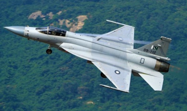
Pakistan To Deploy Chinese JF-17 Fighters Near Gujarat Border
Russia Developing Anti-Satellite Electronic Warfare Plane

Chinese Satellite Navigation System To Get New Homemade Missile-borne Anti-jamming Antenna
Zuma Mission: SpaceX Falcon 9 Launches Secret US Government Spy Satellite Into
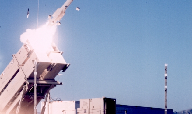
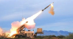
U.S. DoW Signs Agreements with L3 Harris, Lockheed Martin to Increase Patriot,...
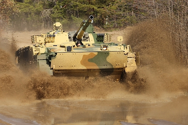
BMP-3 Armored Vehicle Deliveries to Russian Troops Gathers Pace

U.S. Issues Licence to Export GE F110 Engines for Turkey’s KAAN Fighter...

U.S., Iran Halt Strikes on One Another, But Tankers War Continues

One Month Since U.S., Israeli War Against Iran: Who Is Gaining?
One month after the United States and Israel launched coordinated strikes on Iran on February 28 the conflict has expanded...

Modern Tank Showdown: T-90MS, Leopard 2A7, M1E3 Abrams Compared
Main Battle Tanks (MBTs) have shown their mettle in recent conflicts such as in Ukraine despite being increasingly vulnerable to...
European Nations Prioritizing Europe-made IRIS-T & SAMP-T over American Patriot Air Defense Systems?
European nations looking to procure new air defense systems appear to be giving the much-vaunted American Patriot a miss in...

Russian T-90MS Crew Discuss Future Upgrades
Defense Mirror spoke with the crew members of the Russian T-90MS main battle tank, produced by UralVagonZavod

China's Mass-produced J-35A Aircraft Set to Disrupt Global Stealth Fighter Market
China is aiming to disrupt the global stealth fighter market by mass-producing its fifth-generation J-35A at a pace comparable to...

The Future of Combat: Miniaturized Laser Weapons Set to Replace Bullets and Missiles
Lasers may soon replace bullets, and drones could disable enemy UAVs with beams of light instead of missiles