Thales Unveils Geolocalisation System for Soldiers Engaged in High-Intensity Combat

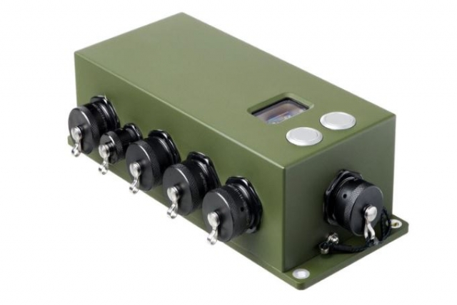
Thales announced today it is introducing VisioLoc, a system designed to enable land forces to generate precise geolocation coordinates in any environment, even when no satellite signal is available.
The new function is used with the Sophie Optima and Sophie Ultima hand-held thermal imagers to provide tactical and special forces units with a unique combat capability in hostile environments while optimising the size of the equipment used and reducing the weight burden on the soldier. Using these two, a section leader can make a positive ID on the target, and in a few simple steps determine its precise coordinates, without having access to a GNSS signal, and call-in fire support.
Thales claims the geolocation coordinates are so precise that an artillery unit can process the information directly and engage the target straight away to provide critical fire support for the front-line unit. VisioLoc dispenses the need for fire adjustment procedures, which can currently take up to 20 minutes.
Once the section leader has called in fire support, the VisioLoc function reduces the time it takes for an artillery unit to engage the target by a factor of three or even four.
Weighing less than 3kg, VisioLoc can be set up simply (on a tripod or hand-held) in under four minutes.
Collins Aerospace Launches First M-Code Compatible Navigation System for European Military Vehicles
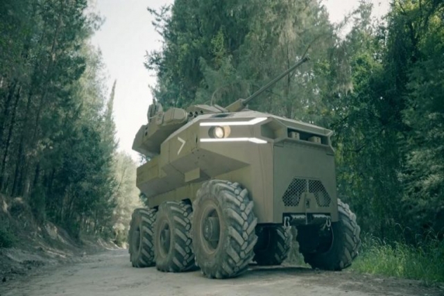
Israel MoD to Test Armed Robotic Vehicle Unveiled at Eurosatory-2022
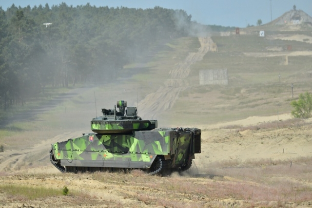
BAE Systems to Display a Range of Armored Vehicles, Artillery Systems at...
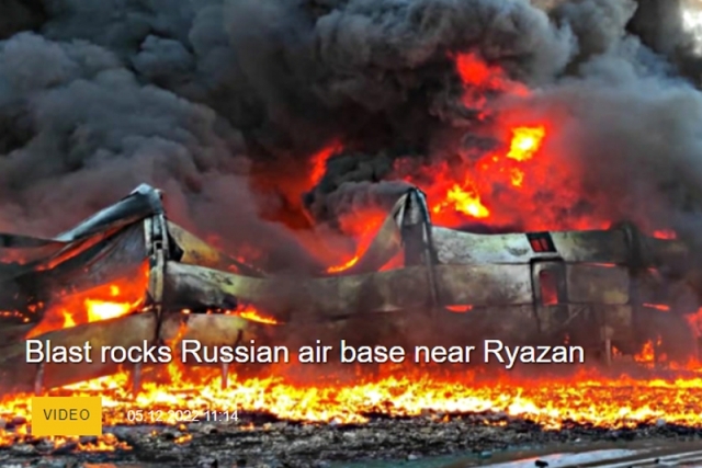
70 Civilians killed, 360 Injured in Ukrainian Strikes on Russian Economic Targets
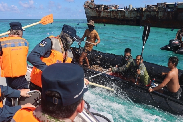
Hand to Hand Combat Between Chinese, Philippine Soldiers in South China Sea
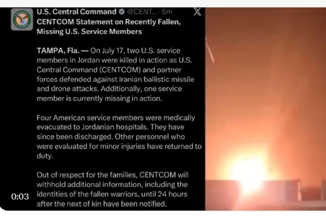
2 US troops KILLED, 1 Missing, 4 Injured in Iran Missile Strikes
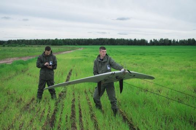
Russia's Unmanned Systems Group Signs Several International Contracts to Sell its Supercam...

One Month Since U.S., Israeli War Against Iran: Who Is Gaining?
One month after the United States and Israel launched coordinated strikes on Iran on February 28 the conflict has expanded...
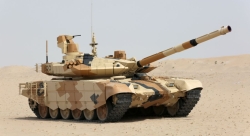
Modern Tank Showdown: T-90MS, Leopard 2A7, M1E3 Abrams Compared
Main Battle Tanks (MBTs) have shown their mettle in recent conflicts such as in Ukraine despite being increasingly vulnerable to...
European Nations Prioritizing Europe-made IRIS-T & SAMP-T over American Patriot Air Defense Systems?
European nations looking to procure new air defense systems appear to be giving the much-vaunted American Patriot a miss in...
Russian T-90MS Crew Discuss Future Upgrades
Defense Mirror spoke with the crew members of the Russian T-90MS main battle tank, produced by UralVagonZavod

China's Mass-produced J-35A Aircraft Set to Disrupt Global Stealth Fighter Market
China is aiming to disrupt the global stealth fighter market by mass-producing its fifth-generation J-35A at a pace comparable to...

The Future of Combat: Miniaturized Laser Weapons Set to Replace Bullets and Missiles
Lasers may soon replace bullets, and drones could disable enemy UAVs with beams of light instead of missiles