Ship Clusters Appear near Strait of Hormuz as GPS Interference Disrupts Maritime Navigation
Electronic jamming linked to U.S.-Israel war with Iran creates vessel tracking anomalies, halts most traffic through key oil corridor

Clusters of ships have appeared near the Strait of Hormuz amid electronic interference that has disrupted maritime navigation during the ongoing war involving the United States, Israel and Iran, according to multiple reports.
Tracking platforms have recorded at least a dozen clusters of vessels near the waterway, with some groups containing more than 200 ships. The vessels include multiple ship types and in some cases appear to be traveling at speeds exceeding 100 knots, far beyond the normal operating speed of commercial vessels.
The unusual patterns are believed to be caused by electronic interference affecting satellite navigation systems, distorting the reported position and speed of ships on tracking platforms.
The disruption has added to concerns among shipowners and charterers operating near the strait. Several vessels in the region have already been targeted by missiles and other projectiles, while war-risk insurance premiums for shipping have risen.
The disruption comes as the effective closure of the Strait of Hormuz has halted most maritime traffic through the corridor linking the Persian Gulf with global markets. The halt in shipping has affected global energy supplies, forcing oil producers in the Gulf to hold output as storage fills.
Oil prices initially surged, with Brent crude approaching $120 per barrel before falling after U.S. President Donald Trump indicated the conflict could end soon.
Some vessel clusters detected in tracking data form unusual shapes. One group appeared as a circular formation inland near Abu Dhabi, while another resembled an inverted “Z” near Ruwais. Other groups were detected in the Gulf of Oman, possibly indicating ships waiting offshore until tensions ease.
The interference can also distort speed readings. The products tanker Asprouda, built in 2013, reported a speed of 102.2 knots near Jebel Ali, equal to about 190 kilometers per hour. Tankers of this type typically travel at about 16 knots.
According to the maritime intelligence firm Windward, electronic interference began at the start of the conflict on February 28 and has affected more than 1,100 ships in the Persian Gulf. Traffic through the Strait of Hormuz fell sharply, with only five vessels recorded on March 4 compared with 120 crossings on February 26.
Windward also reported that more than 1,650 vessels experienced interference in their GPS or Automatic Identification Systems across West Asia on March 7, a 55% increase from the previous week. The company identified at least 30 jamming clusters across Saudi Arabia, Kuwait, the United Arab Emirates, Qatar, Oman and Iran.
Satellite imagery showed vessel clusters forming crop-circle and zigzag patterns as signals were transmitted from incorrect locations due to interference.
It is not confirmed who is responsible for the jamming. However, Iran has been suspected of disrupting navigation signals in the area and had previously threatened to attack ships attempting to pass through the Strait of Hormuz.
Electronic interference is widely used in conflicts to disrupt navigation systems of drones and missiles. Similar GPS interference has also been reported during the war between Russia and Ukraine.

Bahrain Imports Anti-Riot Troops as Protests Erupt Over U.S. War with Iran...
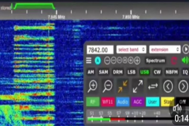
Iran Broadcasts Encrypted Code via ‘Numbers Stations’ to Neighboring Countries

More Than 15 European Warships Head to the Mediterranean following Iran's attack...

U.S. Justifies Iran Carpet Bombing by Claiming Missiles Launched from Schools, Hospitals...
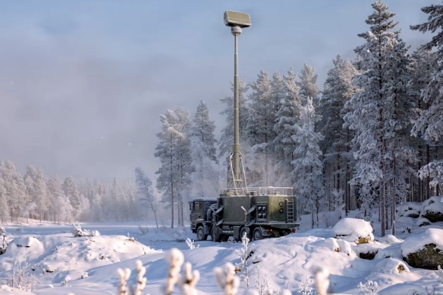
Saab Unveils All-New Giraffe AMB-D Air Defense Radar at Eurosatory 2026
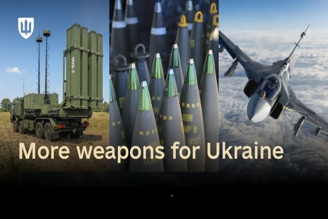
European Countries Announce $4 Billion Arms Support for Ukraine
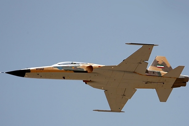
Iranian Pilots Recount Deception Operation in the Bombing of a U.S. Base...
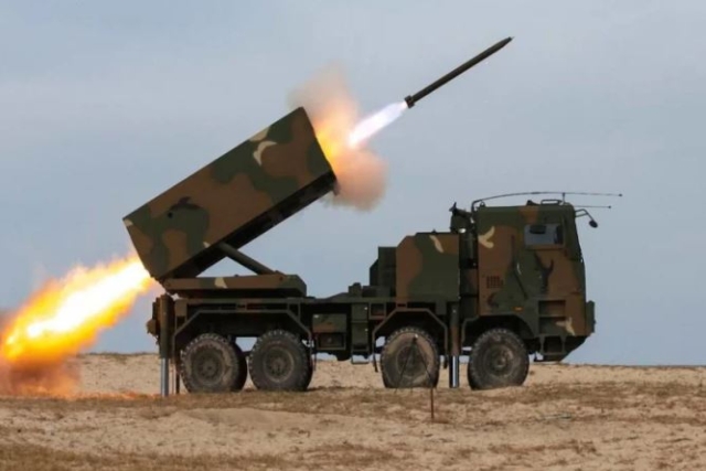
Korean Hanwha’s Chunmoo Missiles to be Launched from Thales’ X-Fire Launchers

One Month Since U.S., Israeli War Against Iran: Who Is Gaining?
One month after the United States and Israel launched coordinated strikes on Iran on February 28 the conflict has expanded...

Modern Tank Showdown: T-90MS, Leopard 2A7, M1E3 Abrams Compared
Main Battle Tanks (MBTs) have shown their mettle in recent conflicts such as in Ukraine despite being increasingly vulnerable to...
European Nations Prioritizing Europe-made IRIS-T & SAMP-T over American Patriot Air Defense Systems?
European nations looking to procure new air defense systems appear to be giving the much-vaunted American Patriot a miss in...

Russian T-90MS Crew Discuss Future Upgrades
Defense Mirror spoke with the crew members of the Russian T-90MS main battle tank, produced by UralVagonZavod

China's Mass-produced J-35A Aircraft Set to Disrupt Global Stealth Fighter Market
China is aiming to disrupt the global stealth fighter market by mass-producing its fifth-generation J-35A at a pace comparable to...

The Future of Combat: Miniaturized Laser Weapons Set to Replace Bullets and Missiles
Lasers may soon replace bullets, and drones could disable enemy UAVs with beams of light instead of missiles